New Map Shows Turf Of Known Gangs Throughout The City
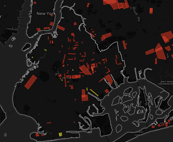
A new map, released this week by the Daily News
[http://interactive.nydailynews.com/2015/12/gangs-of-new-york-city-interactive-map/index.html]
, shows
Which Brooklyn Neighborhoods Have Seen The Greatest Spike In Homelessness Reports?
(Photo: nicolaitan [https://www.flickr.com/photos/nicolaitan/61444999/] /
Flickr)An interactive map on Gothamist
[http://gothamist.com/2015/09/
Deadline To Share Traffic Safety Concerns With DOT Is July 31
Screenshot of the interactive Vision Zero map.When we told you last month [/vision-zero-interactive-map/] about the
interactive Vision Zero map
Crowdsourcing Traffic Safety: Help Map Local Traffic Problems
Oh, look. A dot. One, lonely dot. Won’t you give it some company?Back in April,
the city launched
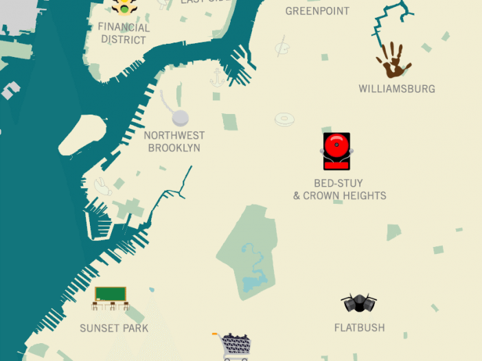
Interactive Map Uses Cute Pictures To Plot 311 Complaints
311 complaints rarely seem very funny when we’re making them (or dealing with
the frustration that comes when they’
Here’s A Picture Of Homeownership In Ditmas Park
The US Census Bureau released a new mapping tool
[http://www.census.gov/censusexplorer/censusexplorer.html] in December that
allows
"Enough To Drive One Mad": Ditmas Park's 1930s Soundtrack
Ever wondered what New York life was like in the earlier part of the 20th
Century? The Roaring Twenties [http:
Map Shows The Age Of All Structures In Brooklyn
Source: bklynr.com via ny.curbedThomas Rhiel of BKLYNR put together this nifty little map
[http://bklynr.com/block-by-block-brooklyns-past-and-present/] that