
New Neighborhood Maps Have Popped Up Near Subway Stations


If you’ve ridden the subway to or from the neighborhood in the last week, you might have noticed a new addition to the block.
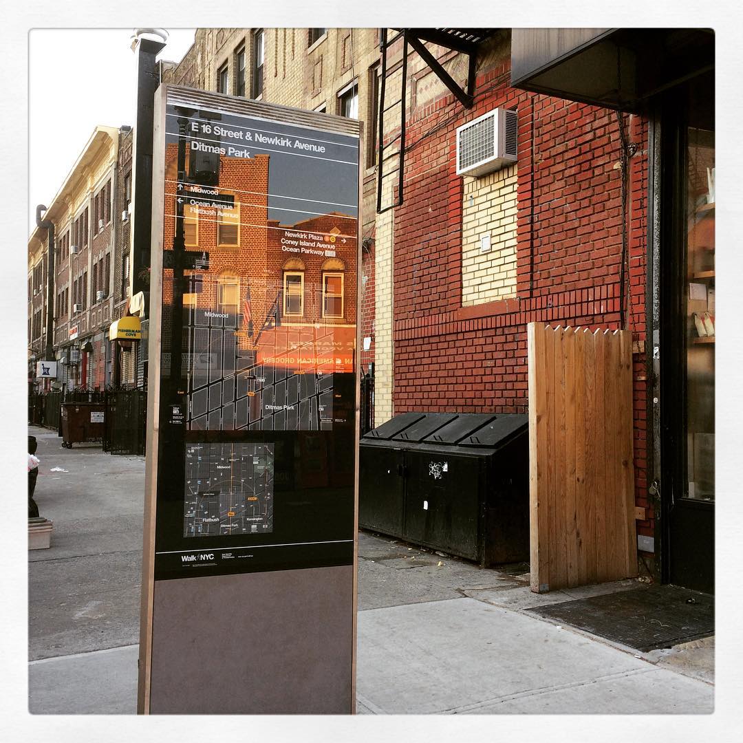
Stand alone maps outlining the neighborhood around the Newkirk Plaza, Cortelyou Road, and Beverley Road subway stops have appeared near the stations as part of the WalkNYC initiative by the city Department of Transportation.
You may have seen these maps popping up in other parts of the city as well over the last couple of years. The DOT has been installing them to provide additional way-finding for people who might be visiting areas they are not familiar with.
According to the DOT,
WalkNYC signs provide valuable information, from basic cardinal directions and street names to mapped details like subway entrances and Wi-Fi hotspots. The maps are rotated “heads-up” or forward-facing to show the street network as it appears in front of you. Research and user testing demonstrate that this method is more accessible for people who are unfamiliar with their surroundings or have trouble reading maps.
if you have any questions or concerns regarding the new maps, you can contact the DOT at walknyc@dot.nyc.gov. What do you think of the new signs?


