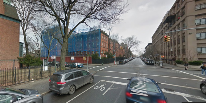
Throwback Thursday: Fort Greene & Clinton Hill In the 1920s & 40s
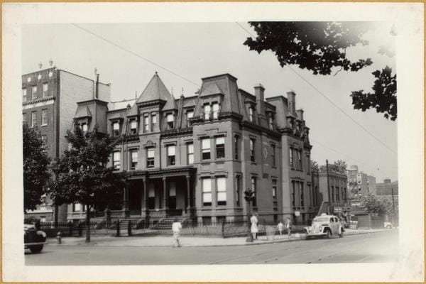
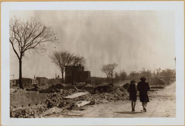
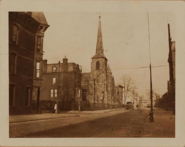
Want to know how Fort Greene and Clinton Hill looked in the 1920s and 40s? Browse through
the OldNYC map, a project from The New York Public Library, to catch a glimpse of the past while never leaving your street corner. Developer Dan Vanderkam plotted each image fromPhotographic Views of New York City 1870s–1970s,
on an interactive map, depicting more than 80,000 original photographs.The library’s database has been around since the 70s — transferred to microfiche In 1981 and digitized in 2015 — used by historic preservationists, landmark designators, filmmakers, genealogists, artists and writers in search of inspiration.
Similar to Google Maps, people can see the entire city then zoom in on a borough, neighborhood, and block. We picked our favorite five old neighborhood photos and compared them to how they look now. If you have historical photos you’d like to share, submit them to editor@bklyner.com.
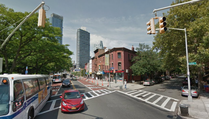
Then:
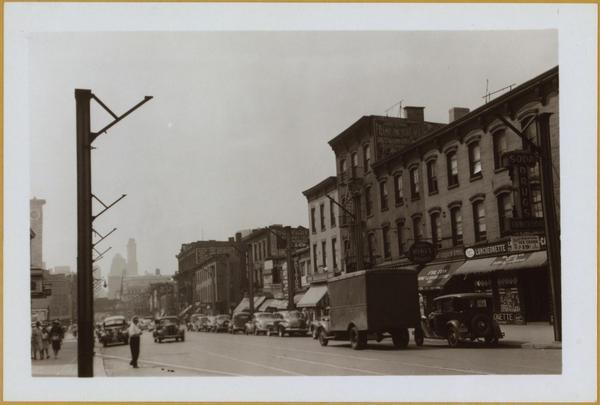
Now:
Then:
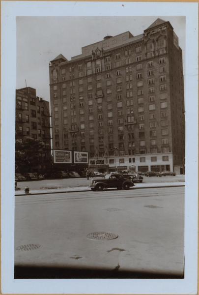
Now:
Then:

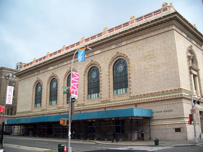
And some buildings never change.
Now:
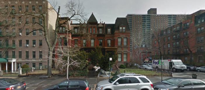
Then:
Now:
