Street Closures & Security Considerations For The 2014 TCS New York City Marathon

This Sunday, November 2 is the 2014 TCS New York City Marathon–and whether you’re planning to go out and cheer or steer clear of race-related traffic concerns altogether, there’s an extensive list of street closures you might want to get to know. Via the NYPD:
Beginning at midnight on Sunday, November 2, the upper level of the Verrazano Narrows Bridge will be closed to vehicle traffic. At approximately 7 a.m. rolling street closures will commence along the route in preparation for the marathon… Street closures and parking restrictions are expected to cause traffic delays. The use of public transportation is highly recommended.
Below are the Brooklyn roads being affected by closures (see the full five borough list here), with the nearest closures in bold:
- Dahlgren Place between Verrazano Bridge and 92nd Street (North Bound)
- 92nd Street between Dahlgren Place and 4th Avenue
- 4th Avenue between 92nd Street and Flatbush Avenue
- Flatbush Avenue between 4th Avenue and Lafayette Avenue
- Brooklyn Queens Expressway (South-bound) between Verrazano Bridge and 79th Street
- 7th Avenue between 79th Street and 75th Street / Bay Ridge Parkway
- 7th Avenue between 74th Street and 75th Street
- 74th Street between 6th Avenue and 7th Avenue
- 6th Avenue between 74th Street and 75th Street
- Bay Ridge Parkway between 7th Avenue and 4th Avenue
- 92nd Street between Gatling Place and Fort Hamilton Parkway
- Fort Hamilton Parkway between 92nd Street and 94th Street
- 94th Street between Fort Hamilton Parkway and 4th Avenue (North-bound)
- 4th Avenue between 94th Street and Flatbush Avenue (South-bound)
- Bedford Avenue between Lafayette Avenue and Nassau Avenue
- Nassau Avenue between Bedford Ave / Lorimer St and Manhattan Ave
- Manhattan Avenue between Nassau Avenue and Greenpoint Avenue
- Greenpoint Avenue between Manhattan Ave and McGuiness Boulevard
- McGuiness Boulevard between Greenpoint Avenue and 48th Avenue
- Pulaski Bridge (South-bound)
Police also note the security measures for this year’s event for both runners and spectators, including how to make the day easier on yourself:
Prior to taking their starting positions on Staten Island, runners will be screened and their bags inspected. The New York Road Runners has provided the participants with clear bags to expedite this process. Individuals who require event credentials and special access to secure areas, such as organizers, volunteers and other personnel, have been pre-screened in addition to the physical screening they will receive on Sunday.
Along the course, bags and backpacks may be subject to search. Bag checks and magnetometer screenings will be conducted in the area of the finish line. Spectators can help expedite, if not alleviate some of the security process, by leaving backpacks at home.
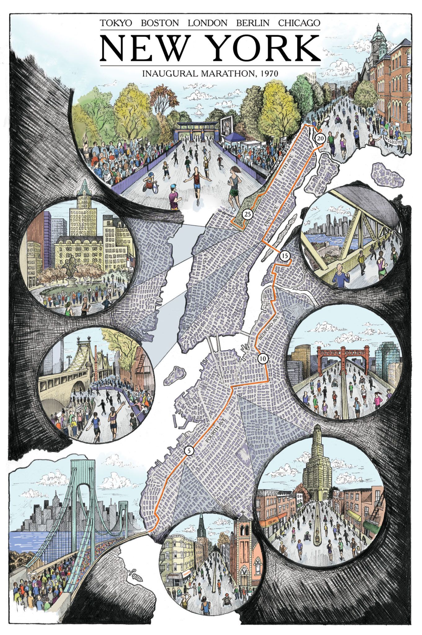
We also just got an email from a runner and illustrator based in Chicago, Phil Thompson, and he told us that he’s been working to create illustrated maps of marathon courses in his hometown, Boston – and now New York. “I wanted the viewer of my map to feel like he/she is experiencing the marathon, at least visually,” Phil wrote to us. You can see more of Phil’s work here and here.
If you’re running in this year’s event, good luck! And if you plan to root from the sidelines, send any photos to editor@ditmasparkcorner.com
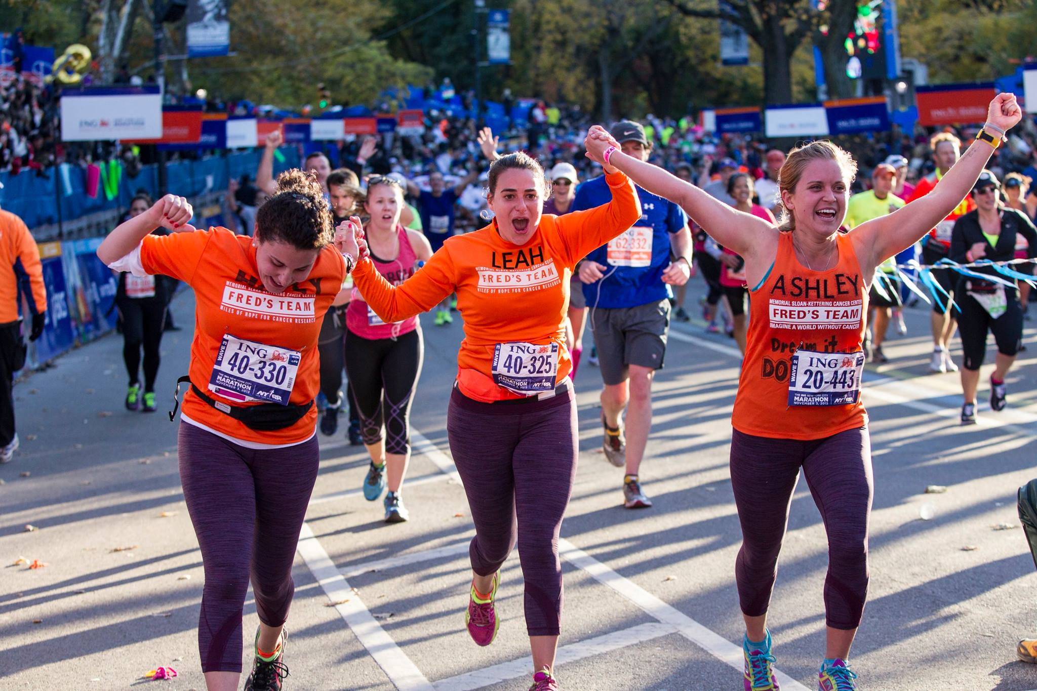
Photo via TSC New York City Marathon

