Photoblogger Documents Coast Before The Storm

These days, blogs are a dime a dozen and usually focus on animals being jerks to people or people being jerks to animals. But every now and then one pops up with a sense of purpose and beauty, and may prove itself historically relevant.
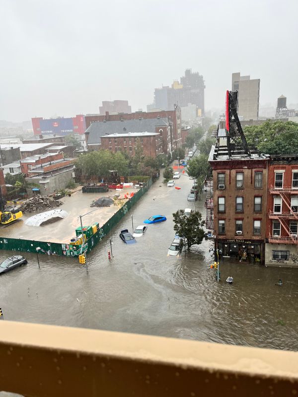
That’s the case with Castles Made of Sand, a photoblog created by Robin Michals to document New York City’s waterfront before inevitable rising tides and storm surges come to wipe it away.
From the website’s project overview:
Castles Made of Sand: New York Harbor Before the Flood is an elegy for the other areas of New York harbor that are vulnerable to sea level rise. While projections of the future are almost always likely to be wrong, imagining the impact of climate change is one step in the process of motivating the necessary public policy changes and modifications to personal behavior in order to avert the most cataclysmic effects of higher levels of atmospheric CO2. With almost 600 miles of waterfront, New York’s geography created its destiny. A fantastic, natural deep-water harbor, New York was in much of the 20th century until 1970, the biggest port in the world. Now at number 20 worldwide and sinking, the city’s waterfront appears more like castles made of sand as we struggle to deal with the forces of globalization and climate change.
To that end, Michals has been going around the city’s coastline, especially Southern Brooklyn, snapping beautiful photographs capturing areas that may be washed away as climate change threatens our communities. The photographer – an associate professor of photography at New York City College of Technology – even found this intriguiging historical nugget explaining Plumb Beach’s transformation into Plumb Island, before reinventing itself again as Plumb Beach:
Plumb Beach must have become Plumb Island by 1891 as the United States government bought a portion of it in order to build a fort. The fort was never built but the island was a federal property and businesses located on Plumb Island could sell alcohol and tobacco without charging local taxes. Needless to say, it became a popular place for bars and other entertainments. After New York City bought the island from the federal government in 1924, it was primarily a summer retreat for Brooklynites. In 1937, Robert Moses began work on the Belt Parkway and the island was connected to the rest of Brooklyn with landfill in 1940.
Check out Michals’ beautiful – and haunting – posts about Sheepshead Bay, Coney Island, Canarsie and elsewhere. Then, someone, please explain to me why the city, state and federal governments don’t seems to think this area is worthy of additional protections from rising sea levels and storm surges…


