Batten Down The Hatches Now, Or Suffer The Great Flood Of 2080

Unless radical “hover home” technology gets developed in the latter part of the 21st century, the New York Times has a warning for you: the thousands of coastal communities dotting the edges of New York City are going to be washed away by the expanding catastrophic flood zones brought upon by the predicted continued erosion of the polar ice caps.
While Mayor Bloomberg has commissioned extensive research studies on the effects of climate change, and what it means for the city, critics have pointed to the crippling chaos Hurricane Irene unleashed on the city’s infrastructure last year as a sign that long-term plans to protect the city are moving too slowly.
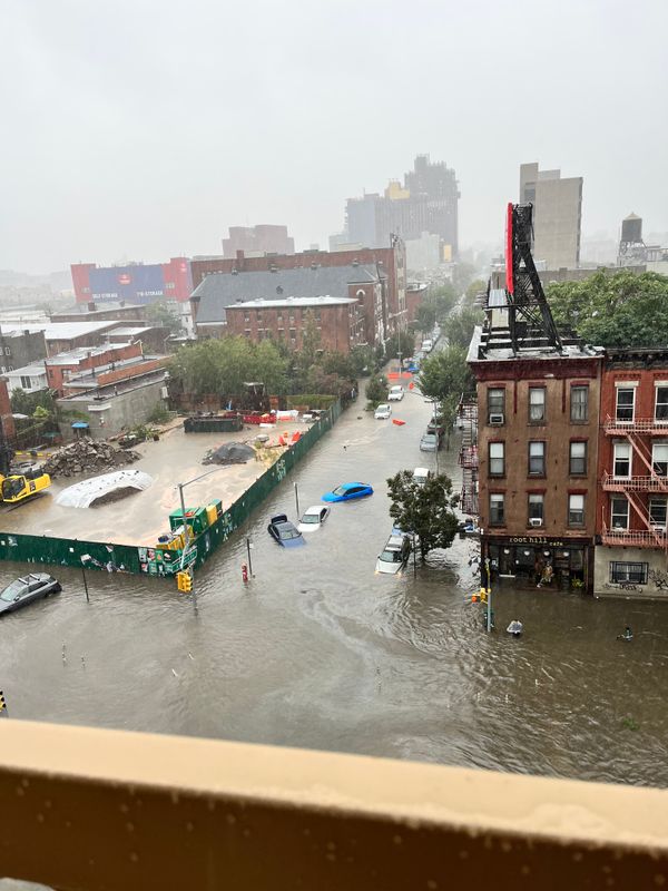
In the future, if a storm like Irene, where 370,000 residents living in the catastrophic flood zones were ordered to evacuate, were to strike again, the danger would extend far beyond that of getting people to safety. The chemical manufacturing plants, garbage transfer stations, and oil storage sites all lining the edges of Western and Southern Brooklyn, and other parts of the city, would be exposed to destruction, potentially causing an environmental disaster not yet seen in the city’s history.
New flood map projections published by the New York Times show that, here in Southern Brooklyn, accelerated melting of polar ice puts all of Sheepshead Bay in a flood zone by 2020, and that stretches past Marine Park and into Midwood by 2080. By that time, major transportation infrastructure will also be at risk of being under water, including just about all of the Belt Parkway and John F. Kennedy airport.
(Readers captured several videos of flooding from Hurricane Irene.)
(And more videos from Hurricane Irene.)
(Recent storms have already lead to flooding in our area.)
(Erosion and flooding at Plumb Beach have already put the Belt Parkway at risk.)
(How to protect yourself from flooding.)
Even if drastic action is taken now, the effort needed to protect New York from Mother Nature’s destructive power is an incredibly complicated undertaking, and a very costly one. Because the cost is so great, city planners are under a high-pressured game to calculate the risk versus cost. New York’s main plan of dealing with this complex future crisis is by slowly rolling out changes and safeguards in hopes that the requisite infrastructure will be in place when the next level of action is needed. More than $2 billion will be spent in this effort over the next 18 years.
The city was spared last year when Irene fizzled into a tropical storm by the time it hit the city, but as global climate change becomes more a reality, its possible a huge storm could smash the city’s meager defenses long before any major changes have been put in place. If that’s the case, many New Yorkers sailing through the financial district on make shift rafts are going to be wondering why the city’s planners weren’t more urgent when they had the chance to prevent a massive disaster.


