
As City Expands Green Infrastructure In Brooklyn, Many Flood-Prone Areas Remain Off The Map
The city's stormwater risk map shows a huge variety of neighborhoods across the borough at risk of flooding during an “extreme stormwater flood” like what the city experienced last week, while mitigation plans are concentrated in the north-eastern parts of the borough.

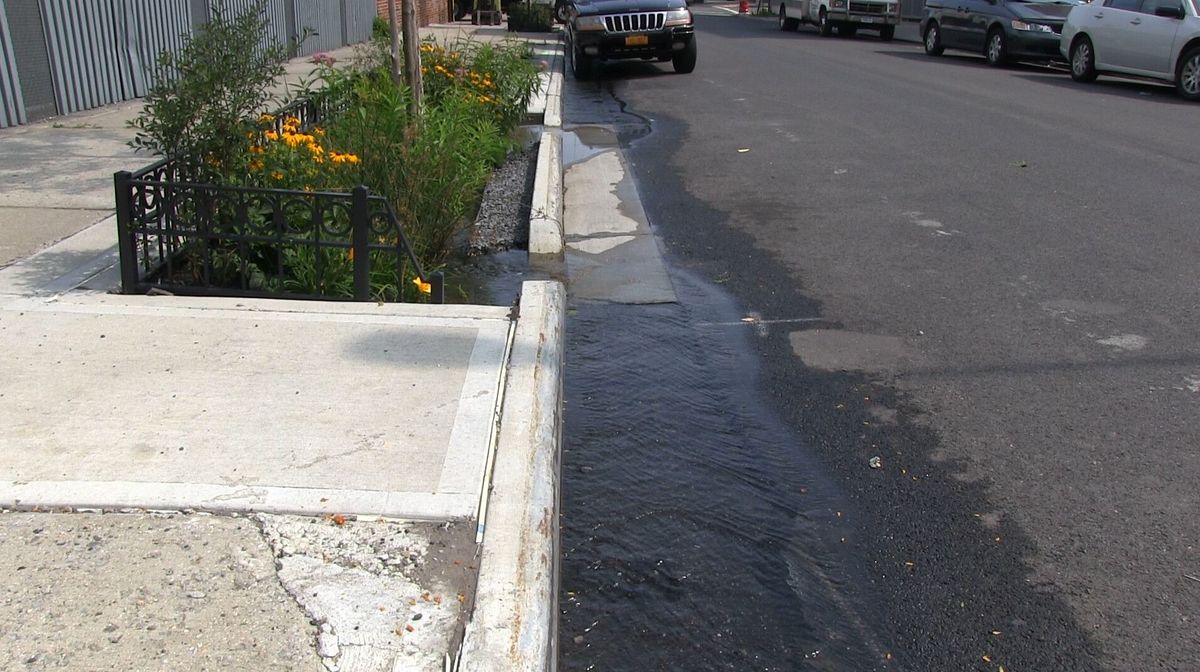
A rain garden designed to collect stormwater runoff in Starrett City, Brooklyn. (Image: NYC Department of Environmental Protection)
Even as heavy rainfall and flooding generated by the remnants of Hurricane Ida pounded New York City last week, it was clear the storm differed in a fundamental way from what was previously this city’s most notorious storm, Superstorm Sandy.
That’s partially because Ida brought record-breaking hourly rainfall to the city. But it was also a question of geography. While Sandy was primarily a coastal storm surge event that flooded many low-lying areas along the city’s coast, Ida dropped a deluge of water on neighborhoods far from the waterfront.
In addition to killing 13 city residents, the storm also damaged at least 2,700 properties in New York City, according to reports recieved by the city's buildings department. In Brooklyn, Bushwick had "some of the highest damage reports," a spokesperson for the city's Office of Emergency Management told Bklyner. Parts of of Gowanus and Park Slope, the office said, also saw damage.
“The volume and intensity of the rain was more than the sewer system was designed to handle,” Ed Timbers, communications director at the city’s Department of Environmental Protection (DEP) told Bklyner. “And for the most part we cannot build larger sewers – there is limited room under the roads.”
That means ensuring the city is better prepared for the next Ida will require different solutions than the billions spent by the city on coastal protections in recent years. The city is working on it—but so far, not all of Brooklyn stands to benefit.
A stormwater risk map published by the city in May shows a huge variety of neighborhoods across the borough at risk of flooding during an “extreme stormwater flood” like what the city experienced last week.

The ongoing resiliency projects in this borough, DEP told Bklyner, include separating previously combined sewers to create dedicated stormwater and wastewater lines where practicable. In Brooklyn, such work is underway in Gowanus and Canarsie, and will increase the capacity of the neighborhoods’ drainage systems, reduce roadway flooding and lessen the pollution that might be discharged into the Gowanus Canal and Jamaica Bay, respectively.
Given the limitations of the system, the agency is also trying to divert stormwater from the catch basins and sewers in the first place. The agency says it has built over 11,000 curbside rain gardens, infiltration basins and other green infrastructure to intercept stormwater before it can get to a catch basin.
But a map of those DEP-funded installations in Brooklyn, which also include green roofs, permeable playgrounds and subsurface storage at NYCHA facilities, shows construction overwhelmingly concentrated in the eastern and northern portions of the borough.
The interactive map shown above displays green infrastructure projects undertaken by the city's Department of Environmental Protection (DEP). Green dots indicate constructed projects, yellow dots show projects in the process of construction and blue dots indicate projects in the "final design" stage. Clicking a dot reveals more detail about the installation.
Timbers told Bklyner the stark geographic focus was because initial rounds of green infrastructure construction in the borough were aimed at intercepting stormwater from the sewers that would overflow into Jamaica Bay.
“Thousands more will be built in the coming years,” he said.
The timing and location of such projects could potentially be a matter of life and death. The basement apartment at 491 Ridgewood Avenue in Cypress Hills where a 66-year-old man was found dead during the storm was in an area flagged for potential flood risk, according to the stormwater map. It is also surrounded by dozens of sites slated for infiltration basins and green strips designed to store rainwater, all of which are currently “under construction,” according to DEP’s green infrastructure map.

The man was one of several across the city who apparently died when their basement apartments flooded with water. And several other areas in the borough that saw flooding—ranging from Flatbush to Borough Park to Greenpoint—have few such DEP resiliency projects in the works.
DEP also told Bklyner it is trying to encourage private property owners to manage the stormwater that falls on their sites by providing grants for green roofs and funding for stormwater management projects on large impermeable sites. The de Blasio administration has also proposed an amendment to city rules that would require new public and private properties to retain and manage more stormwater on-site, rather than allowing it to runoff onto the sidewalks and streets.
All of these solutions are important, experts say, but they need to happen in a coordinated, holistic way to have a meaningful impact.
“Sidewalk bioswales are certainly a piece of the answer, but to protect all New Yorkers much more comprehensive, multi-pronged strategies must also be implemented,” Eric Goldstein, New York City Environmental Director for the National Resources Defense Council, told Bklyner.
The stormwater risk map was published by the administration of Mayor Bill de Blasio along with a stormwater resiliency plan that offers policy solutions to ensure the city is prepared for storm surge events. But some of those initiatives, including an emergency notification system for those living in basement apartments, aren’t slated for completion until 2023.
De Blasio said last week that he would seek to speed up the timeline for implementing the recommendations in the plan, and announced the establishment of an “Extreme Weather Response Task Force” to develop response protocols. But it’s unclear if even that will be enough.
“Building new sewers or investing in more tree maintenance aren't exactly the most thrilling topics but they are incredibly important,” southern Brooklyn Council Member Justin Brannon, who chairs the Council’s Committee on Resiliency and Waterfronts, told Bklyner. “The climate crisis demands bold action but it also demands we sweat the small stuff like clogged sewer drains and tree pruning as storms get stronger and more frequent.”
Brannan, who represents Bay Ridge and Dyker Heights, said there “wasn't a house in my district that didn't see some sort of damage from flooding.” He’s one of several Council Members that will lead a joint oversight hearing next week to “examine what went wrong and what – if anything – went right.”


