
Gowanus Landmarking Coalition Releases Map Of Historic Neighborhood Sites

GOWANUS – The Gowanus Landmarking Coalition has collaborated with the Gowanus Souvenir Shop in creating a map of significant historic buildings and structures across the neighborhood.
Featuring illustrations by artist Vivian Baumann, the map details the sites—from Butler Street down to 16th Street—that the Coalition is calling on the NYC Landmarks Preservation Commission to designate landmarks and preserve.
The map ($5.99) can be taken along on your next excursion through the neighborhood while a print ($30) can be displayed on a wall.
“We’re excited to launch our latest Gowanus Souvenir Edition in partnership with the Gowanus Landmarking Coalition,” said Gowanus Souvenir Shop owner Ute Zimmermann in a release announcing the project. “The map highlights significant historic buildings and structures of Gowanus that should be preserved.”
“We have had a lot of requests for a map of the neighborhood and we hope this will provide a fun and useful resource for both visitors new to the neighborhood, as well as old timers,” she added.
Gowanus Souvenir Shop (567 Union Street) is hosting a party to launch the Gowanus Landmarks Map on Wednesday, March 20, from 6:30pm to 7:30pm.
“The images and map help to capture just how much these buildings contribute to the sense of place that makes Gowanus such a distinctive part of Brooklyn,” said Kim Maier, Executive Director of The Old Stone House and a Coalition member. “We hope this map helps broaden advocacy for the Landmarks Preservation Commission to confirm protection for a substantial number of the Gowanus landmarks that are integral to the neighborhood.”
The Gowanus Landmarking Coalition is composed of Gowanus residents and local businesses and organizations advocating for landmark designation for key historical and architectural sites throughout Gowanus. Last May, the Coalition held a press conference announcing 33 sites that it would like the NYC Landmarks Preservation Commission to consider landmarking in an effort to save the structures before rezoning begins in the neighborhood.
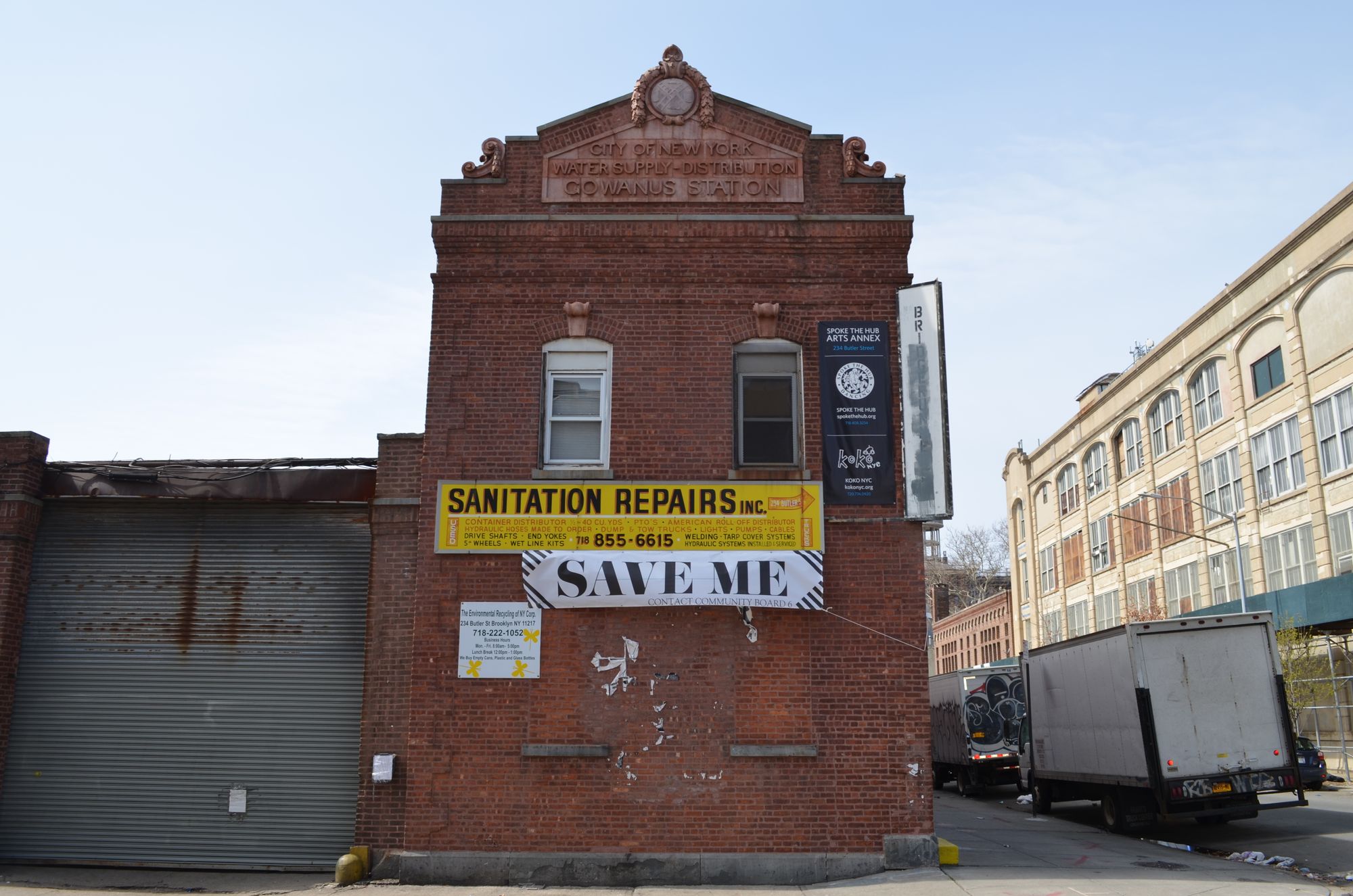
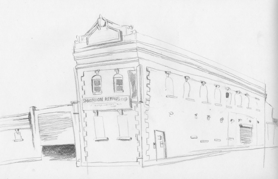
The Coalition’s website shows its top 15 priority sites—including Gowanus Station (234 Butler Street). The Gowanus Station building (along with 242 & 270 Nevins Street) was seized by the city via eminent domain last year so that it can be demolished to make way for a CSO tank facility that’s part of the EPA’s Superfund Cleanup of the Gowanus Canal. The brick Beaux-Arts structure was built in 1913 by the City’s Department of Water Supply, Gas & Electricity to serve as a pumping station for the Gowanus Canal.
Other sites the Coalition proposes for landmarking include:
American Can Factory, 232 3rd Street
ASPCA Memorial Building and Horse Trough, 233 Butler Street
Brooklyn Rapid Transit Powerhouse (the Bat Cave), 322 3rd Avenue
4th Street Brewery & Icehouse Complex, 401-421 Bond Street
Gowanus Flushing Tunnel Pump House, 209 Douglass Street
The Green Building, 450-460 Union Street
National Packing Box Company, 543 Union Street
Norge Sailmakers Building, 170 2nd Avenue
R.G. Dun & Company Building, 239-57 Butler Street/206 Nevins Street
S.W. Bowne Grain Storehouse, 595-611 Smith Street
T.H. Roulston, Inc. Buildings, 70-124 9th Street
Union Street Bridge Control Tower
Head-of-Canal Historic District
2nd Street Historic District
Another structure on the list at risk of soon being lost is the S.W. Bowne Grain Storehouse, which the owner has been trying to demolish despite an FDNY investigation following a suspicious fire in the building last June.
Stop by Gowanus Souvenir and pick up a copy of the Gowanus Landmarks Map and take a tour of the sites. All proceeds from the sale of the map support the Gowanus Landmarking Coalition.


