The Commute: How To Meaningfully Improve Traffic Safety — Part 2 Of 2

THE COMMUTE: In Part 1, we asked if the real purpose for the new 25 MPH speed limit is increased safety or increased revenue. If the city is as concerned with increased safety as much as it claims, let us look at some traffic safety hazards the city has not been paying adequate attention to.
It took more than two years to repair the lighting on the Belt Parkway between Flatbush Avenue and Knapp Street after Superstorm Sandy. Dark dangerous stretches of highways with non-reflective exit signs were a problem long before Sandy, and will continue to be a problem.
Street markings are allowed to virtually disappear before being repainted. Lanes mysteriously merge into each other without any notice, and left and right turn lanes appear out of nowhere, forcing motorists to try to switch lanes in heavy traffic or make a turn they didn’t want to make in the first place, and risk getting lost. These are accidents just waiting to happen.
Then we have the opposite situation, such as on the northern portion of Flatbush Avenue, since the opening of the Barclays Center, and on Woodhaven Boulevard where left turns and / or right turns are banned for a mile without any notification of where the next turn is allowed. This creates frustration and anxiety for motorists increasing the chance they will either make an illegal and or unsafe maneuver, also increasing the potential for accidents.
Endless Confusion
Confusing work zone signage and lane markings cause the worst confusion. The southbound Gowanus section of the Brooklyn-Queens Expressway (BQE) is a prime example, with its neverending lane shifts and reroutes, and poor or incorrect signage and lane markings. It is dangerous during the day and a nightmare in the dark or fog, especially for a tourist.
You have a highway with a 45 MPH speed limit that should be 50 except for around the turns. However, it doesn’t become 50 MPH until you reach the Gowanus. But less than one mile later, the speed drops to 40 MPH because there is a work zone ahead. So you cannot exceed 40 for about 600 feet although you still have not reached the work zone. When you finally do, although the lanes are no narrower than when the speed limit was 40, the speed limit now drops to 30 MPH. Of course every single car is still going at 50 MPH because it is a perfectly safe speed. Then you see a huge sign informing you to keep left for the Belt Parkway, which has not been covered and is no longer accurate because the leftmost lane now leads you to the BQE, not the Belt.
Smaller signs that can only be read at 30 MPH, which no one is traveling at, now show left as the way to the BQE right at the departure point not in advance of it. If that is not bad enough, you have an old HOV symbol on the pavement informing you not to be in the left lane at all. There are other small signs also at the departure point, directing you to the Belt after a quick lane shift and old lane markings that were never removed. They merge into an upside down V, abruptly ending the lane. As you enter the Belt Parkway there is a three-foot wide lane on the left that gradually widens until it actually becomes wide enough to be a real traffic lane. The NYS DOT couldn’t do a better job at confusing people if it tried.
Co-Naming Of Local Streets Can Cause Accidents
I have already mentioned that when streets are co-named using the same colors and font as the real name of the street and the real street name falls off, you are often left with only the co-name for years. That can cause confusion, erratic decisions, and accidents for someone unfamiliar with the area. ‘I won’t turn; yes, I will; no, I better not; OK, I will turn.’ Calls to replace missing signs, such as the missing Sheepshead Bay Road sign at Emmons Avenue, have gone unheeded by DOT for more than three years. Assemblyman Cymbrowitz’s office they assured me that they have made three complaints. A new sign was recently erected on only one of the corners, when two are required. The DOT is also erecting duplicate signage, two at the same corner, while not replacing long faded signs, as I reported here.
Co-Naming Of Highways Can Cause Accidents
Tourists can easily panic believing they made a wrong turn when they follow signs to the Belt Parkway. Instead of seeing a side marker informing them they are indeed on the Belt Parkway, they see a large green sign notifying them that they have entered Leif Ericson Drive. Fearing they may have made a wrong turn while trying to figure out if they are on the correct path, they are then informed by another large green sign — not a small commemorative sign — that they are on the POW MIA Highway. Now they are really confused.
Similar situations occur upon entering the Bronx River Parkway and Cross Island Parkway, as well as the West Shore Expressway. None of those highways have side markers informing motorists that they are indeed on those highways. Instead, they are greeted with large signs indicating the alternative highway name.
Renaming Of Highways, Bridges And Tunnels
Descriptive names are increasingly being discarded for names that tell you nothing about where you are traveling. Which provides better information for the traveler? Names such as the Triborough Bridge, Queensboro Bridge, or the Brooklyn-Battery Tunnel, which inform you of the two areas that are connected? Or do you receive more information from a name like the Hugh Carey Tunnel?
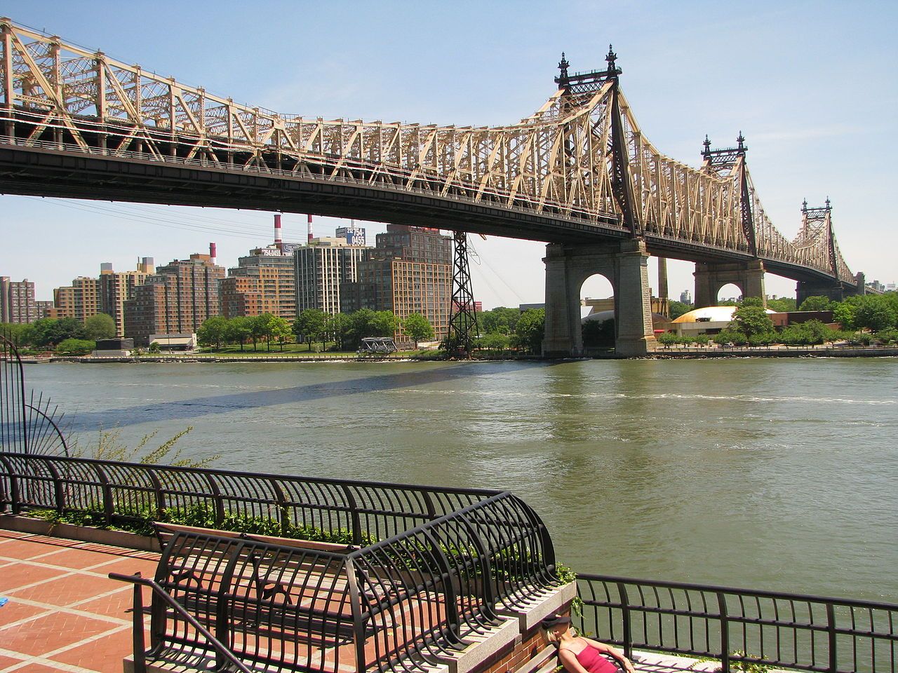
The Triborough Bridge is now the RFK, and the Queensboro Bridge is now the Ed Koch Queensboro Bridge. What’s next? The Bloomberg Brooklyn Bridge? Let us at least make some money from the renamings. How about the JPMorgan Chase Manhattan Bridge?
Just Plain Safety Measures
Then there are common sense solutions. How about timely trimming of trees and shrubs so that stop signs and highway exit signs are not obscured by overgrown shrubbery? Why did no one think of putting an address under those big “H” signs indicating a hospital is in the area? If safety were really a priority, they would have. Looking up a hospital’s address requires extra time in an emergency when time is of the essence.
How about resurfacing roadways more frequently to reduce the number of potholes instead of bragging about how many thousands of potholes were filled each year? Some roads in poor condition are not resurfaced for more than 30 years, while others are resurfaced when not needed. Potholes cause accidents.
Yet, revenue generation is the prime concern of government — not safety. If safety were really the city’s number one priority, the problems I highlighted above would not exist. They would be addressed. If you think that the city will use the revenue generated from red light and speed cameras to address potholes and other safety problems, think again. Those revenues are not earmarked for roadway improvements, but will be deposited into the city’s General Fund where they pay for such things as a $150,000 a year assistant to the mayor’s wife’s unsalaried position. Increased safety is merely being used as a reason to generate revenue.
The Commute is a weekly feature highlighting news and information about the city’s mass transit system and transportation infrastructure. It is written by Allan Rosen, a Manhattan Beach resident and former Director of MTA/NYC Transit Bus Planning (1981).
Disclaimer: The above is an opinion column and may not represent the thoughts or position of Sheepshead Bites. Based upon their expertise in their respective fields, our columnists are responsible for fact-checking their own work, and their submissions are edited only for length, grammar and clarity. If you would like to submit an opinion piece or become a regularly featured contributor, please e-mail nberke [at] sheepsheadbites [dot] com.


