
See Parking Rules and Street Conditions on an Online Map


If you’re confused about parking rules in the city, the Department of Transportation recently made an online map for you. It’s not the nicest or easiest interface at the moment, but it’s handy if you’re driving to an unfamiliar area and you’ll need to park on the street.
The notes about which parking signs on on which streets joins the “assessment rating” for streets, as well as the date for the last time roads and intersections were resurfaced. That info was part of a bill that required the DOT to make their paving schedule more transparent to the public. There are three rating levels–good, fair, and poor–and most of our streets are rated “good,” several stretches are “fair,” and just one is “poor.” And it happens to be one of the most interesting streets in our neighborhood.

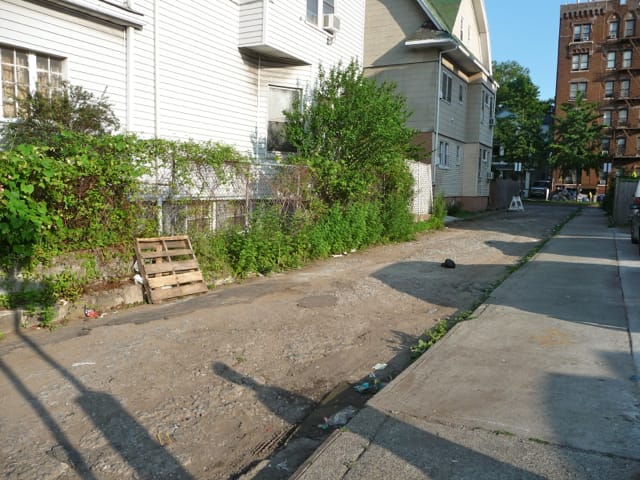
Corbin Court runs between Foster and Glenwood, one block east of Coney Island Avenue (and according to the map, it was either last paved in 1991 or 2003–my guess is ’91). It’s hard to tell it’s an actual street, but it is–the DOT recently installed no parking signs, and it’s now part of sanitation’s regular route for collection and street cleaning. Forgotten NY has some guesses on its origins (for carriages), but you still won’t find a street name sign on the block.


