
Rent Vs. Income in Ditmas Park

Looking for a slightly addictive map that breaks down info about income and rent? Based on the 2007-2011 American Community Survey, the Rich Blocks, Poor Blocks maps divide up areas by census tracts and let you check out what the incomes and rents are like in those areas.
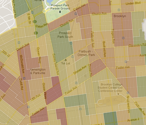
Not too surprising, the census tract that includes Prospect Park South, where some of the grandest homes are located in our neighborhood, has the highest incomes. The median household income there is $78,125, compared to the “statewide middle-class income range” which is $50,282 to $63,315.
A little ways south, the census tract that covers parts of West Midwood and Fiske Terrace has the highest median monthly rents at $1,313. The statewide middle rental-range is $812 to $1,013.
If you’re on the hunt for a new, inexpensive rental, this map would recommend you check the area between Dorchester and Foster, and from E 16th to Ocean Ave. Based on their data at the time, the median monthly rents there were the lowest in our area at $849.


