
No Subway Maps for iPhone 5

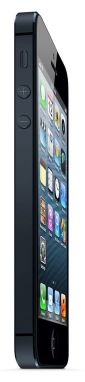

As always with Apple, much has been made of the upcoming iPhone 5 release. This time around, the new release’s iOS 6 has big implications for New York City users.
From The Atlantic:
The company announced back in June plans to produce its own mapping software. This is big news for cartography geeks, but it comes with a catch. Without Google Maps, the new Apple operating system won’t include the transit navigation capability that Google has worked with cities to pioneer over the last seven years.
If you want to get from Cortelyou Road to a new restaurant by train or bus, you won’t find help on the new iPhone — at least not for a while.
Apple’s new mapping service is hamstrung because many major cities do not provide open data on their transit systems but instead provide the data directly to Google for use in the (almost) ubiquitous Google Maps. The new Apple Maps app depends on third-party developers building in the public transit functionality. For those of us using the new operating system, third party apps such as HopStop (free) and NextStop ($2.99) can deliver transit information.
The Wall Street Journal praised the phone overall but criticized the new mapping program, calling the “emptier” map the biggest drawback on the new phone and a “step backward” from Google’s service.
Transit advocates and regular commuters in big cities around the world have protested the omission but that has not been enough to slow massive preorders for the phone. The iPhone 5 ships in two days on September 21.


