Guess That Bensonhurst Street: How Many Of These Historic Neighborhood Images Can You Place?

How familiar are you with Bensonhurst’s history? So much has changed since these photos were taken, you might be a neighborhood native and still not recognize what your street looked like a half century ago. Take a look at the below pictures to test your knowledge. Their addresses, along with a modern photo of the spot, are at the end — no cheating!
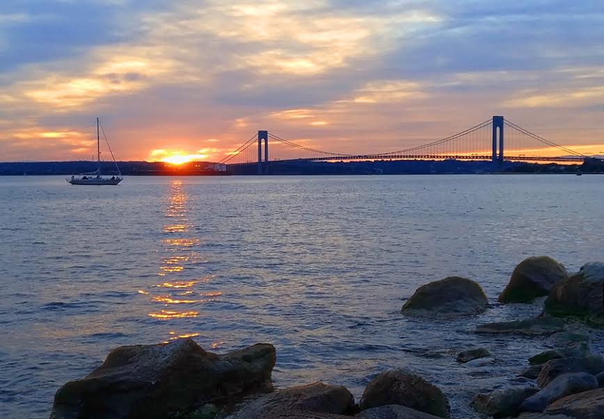
Are you ready? Scroll down past the Verrazano for the answers!
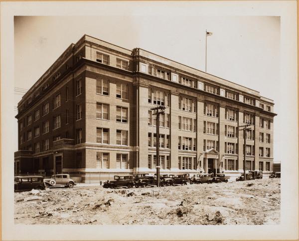
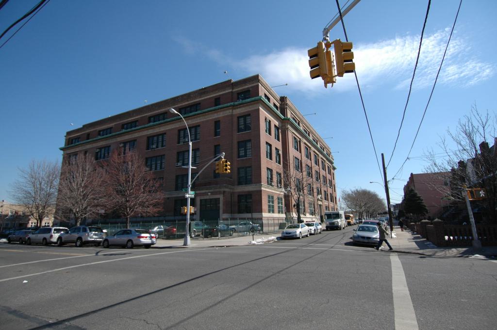
1. 16th Avenue from 79th to 80th street, the New Utrecht High School circa 1930.
Will you just look at those aboveground telephone wires. The school looks much the same today, even if the cars don’t.
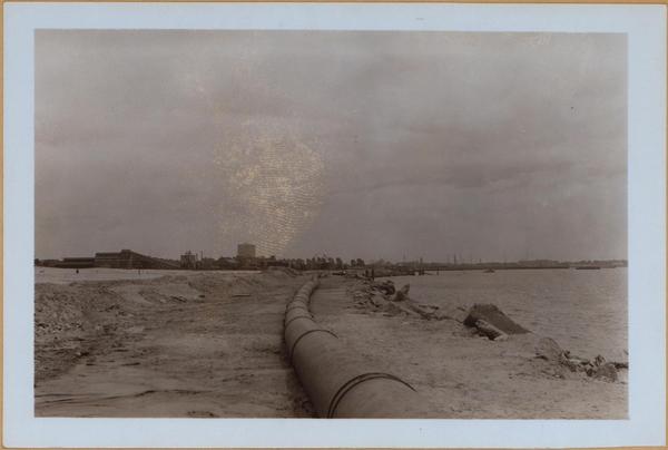
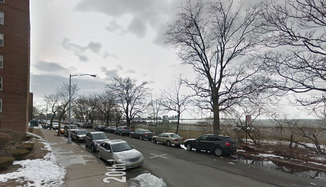
2. An under construction Belt Parkway in 1939, looking south from 20th Avenue with Bay 32nd Street visible in the background. Construction has since obstructed the sweeping view.
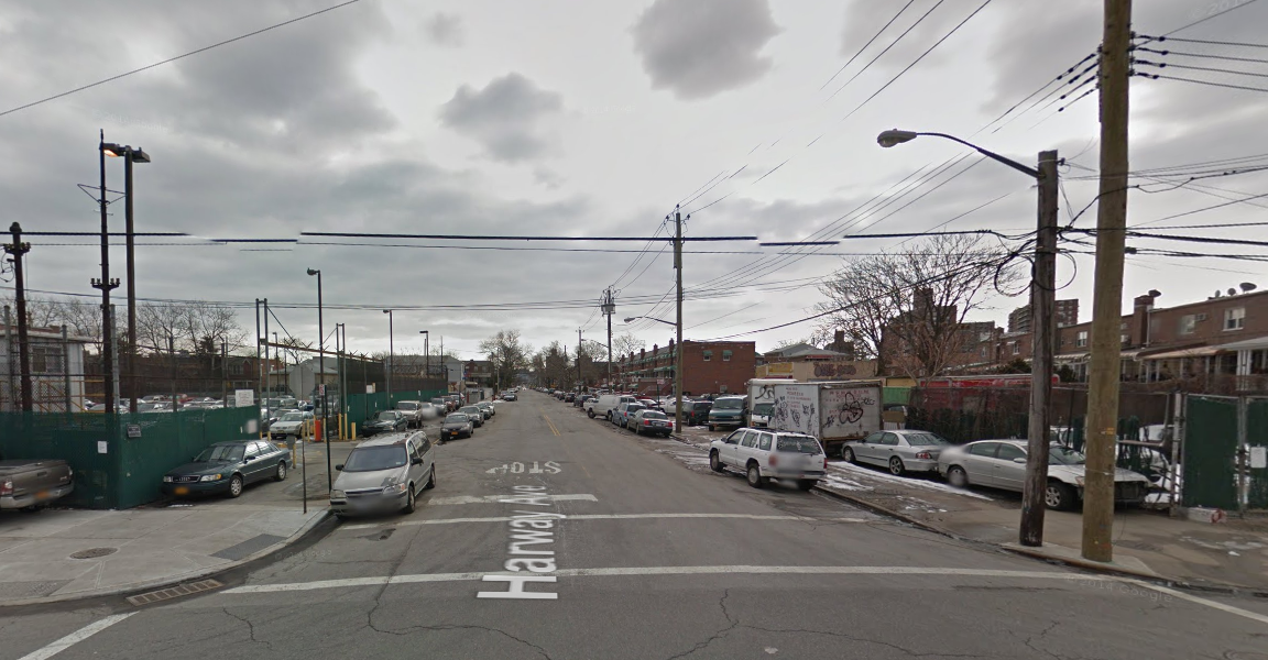
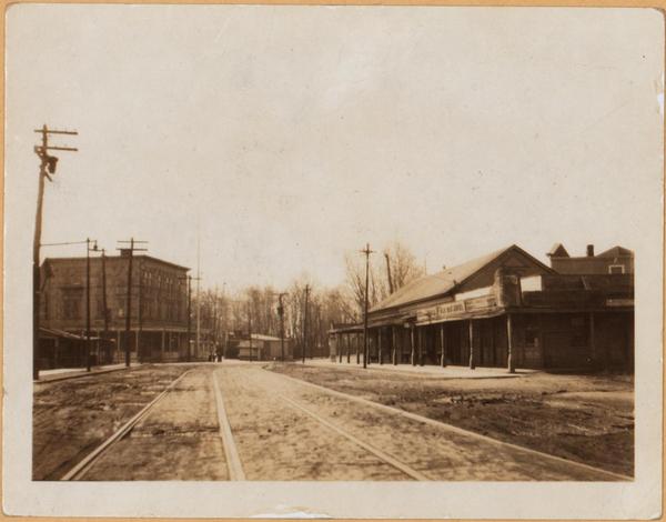
3. 25th Avenue from Harway Avenue to Cropsey Avenue in 1925. On the right is the porch of the Old Oak Hotel, and on the left is the Old Spot Cafe. If they were considered old then, can you imagine what they’d be considered now? Looks more like the Wild West than Brooklyn!