
Explore Local Urban Forestry One Tree At A Time With NYC Street Tree Map

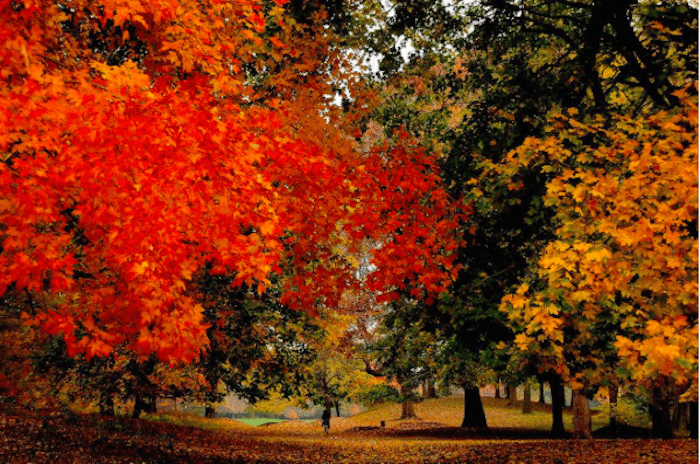

New Yorkers have a new way to learn about our urban landscape just in time for the last hurrah of the autumn leaves. The NYC Parks Department’s newest tree census data charts our urban forest on a micro and macro scale, so we can visualize the many ways that trees improve our health, shrink our carbon footprint, and prune the city’s budget.
For more than a year, thousands of volunteers surveyed more than 685,000 street trees across all five boroughs, collecting data on species, health, trunk diameter, and GPS coordinates to plant onto an interactive software from the Center for Urban Forest Research.
As the data shows, those trees aren’t just lifting your mood and helping you breathe better. In addition to capturing storm water runoff, reducing energy costs, and cleaning pollutants from the air — they’re also saving the city money every year.
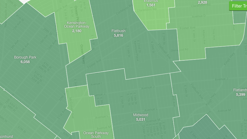
There are 5,816 trees rooted in Flatbush, a neighborhood whose name comes from the Dutch “Flat Woodland”, the most common being the London Planetree. Flatbush’s trees remove 13,045 pounds of air pollutants removed every year and saving the city more than $1 million per year, according to NYC Street Trees data. This begs the question, does money grow on trees after all?
Readers can browse the map by borough, neighborhood, street or individual tree to get a macro and micro view of urban forestry — and celebrate your favorite trees through stewardship guides and sharing street locations with your friends.
Want to learn more? Now you can pine over your favorite tree while learning some advanced care tools here, or root around in the Open Space parks data to create your own project here.


