Browse Through A Century Of Flatbush History On This Interactive Photo Map


Just a glimpse of the past can lift us out of our own tiny universes and plunk us right into another century, while never leaving our own street corner.
At the end of a busy week, we had a lot of fun sifting through the OldNYC map, the ingeniously updated project from The New York Public Library. Developer Dan Vanderkam plotted each image from Photographic Views of New York City 1870s–1970s, on an interactive map — creating a visual tapestry of history and geography from more than 80,000 original photographs.
The library’s database has been around since the 70s — transferred to microfiche In 1981 and digitized in 2015 — used by historic preservationists, landmark designators, filmmakers, genealogists, artists and writers in search of inspiration. But the old NYPL site was harder to navigate; with pages and pages of disconnected, 15×11 inch snapshots to sift through.
Browse OldNYC map in the same way you’d search Google Maps; see the entire city, then zoom in on a borough, neighborhood, and block. But first, check out some of our Flatbush favorites below …with photo updates!
We picked our favorite seven photos and went out to document what they look like now, corner to corner. Here are our best recreations of the old photos — but we challenge readers to snap better ones this weekend, and we’ll add them in. Submit your photos to editor@ditmasparkcorner.com.
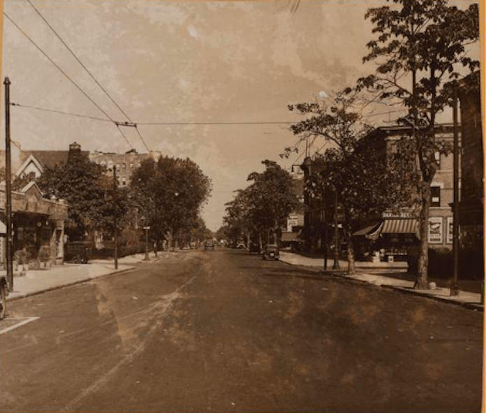
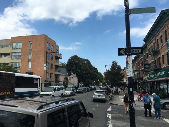
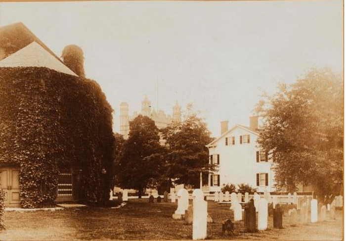
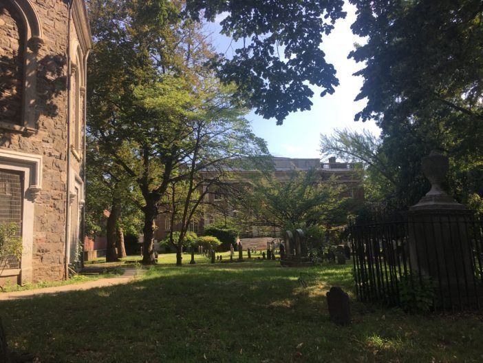
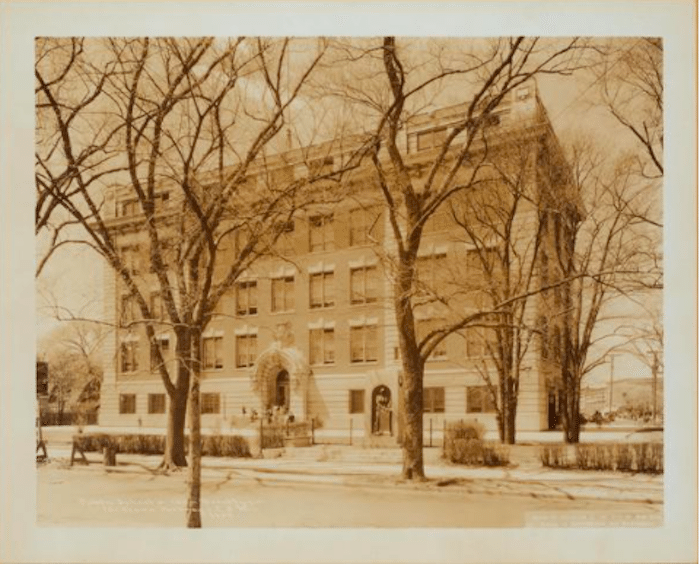
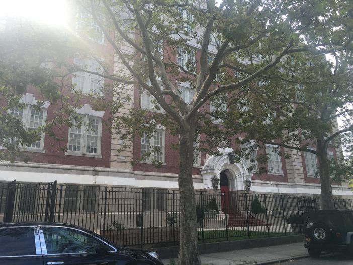
Then:
Now:
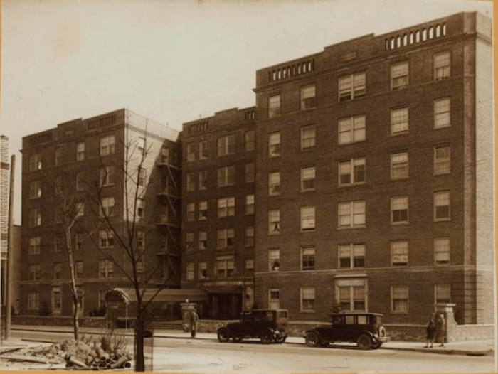
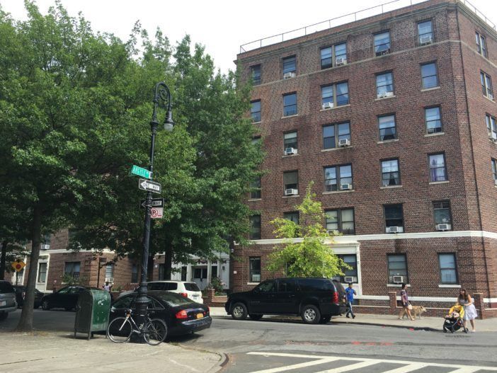
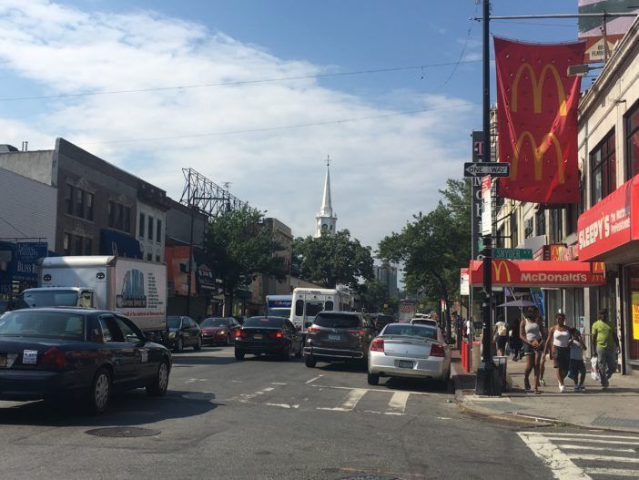
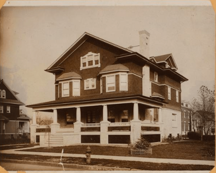
Then:
Now:
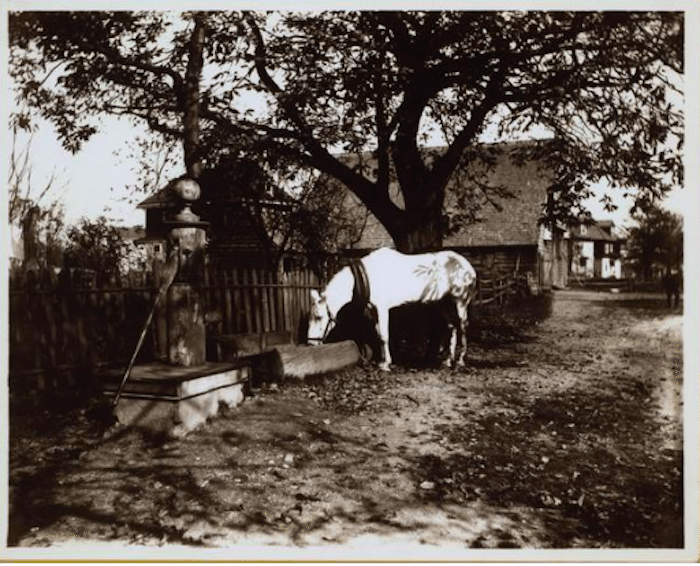
Then:
Now:
Then:
Now:
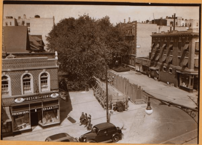
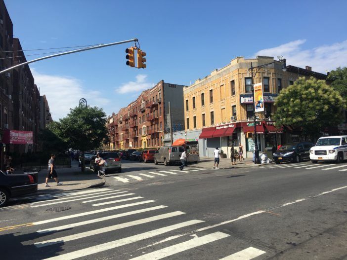
Then:
Now:
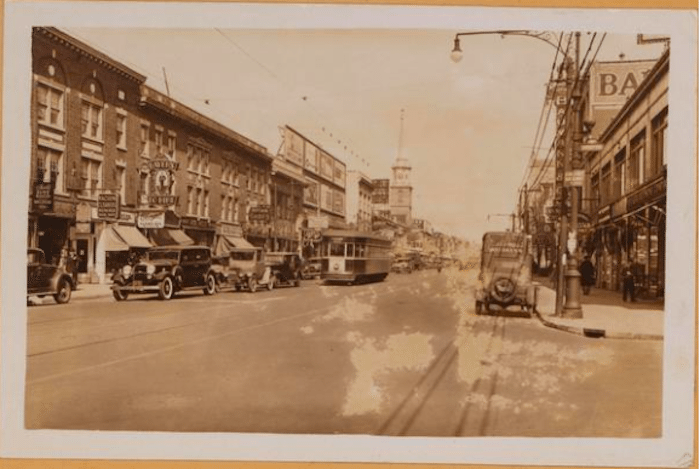
Then:
Now...Okay, not fair! This one just can’t be re-created.
Then:
Now:
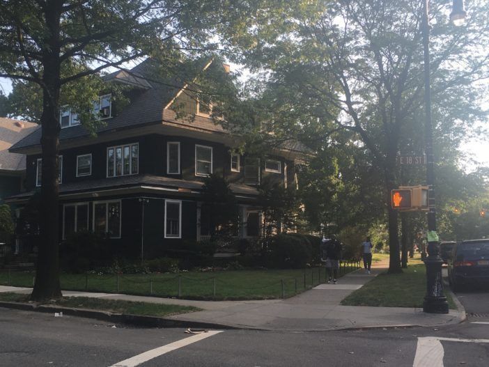
And as much as these photos represent a kaleidoscope of change, many homes in the Landmarked district haven’t aged a bit.
Then:
Now, another house one block away: